Hover To See Detail
Hover To See Detail
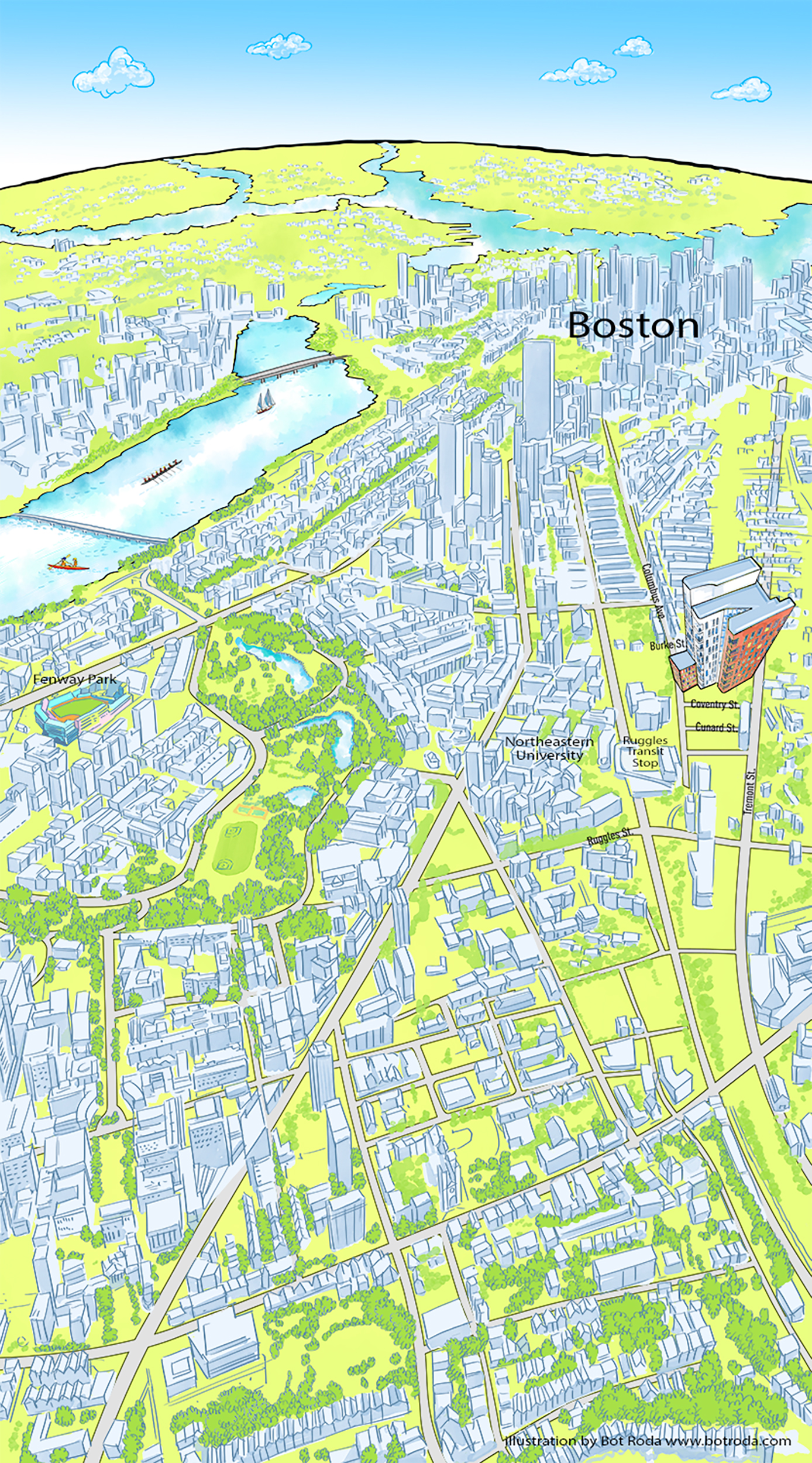
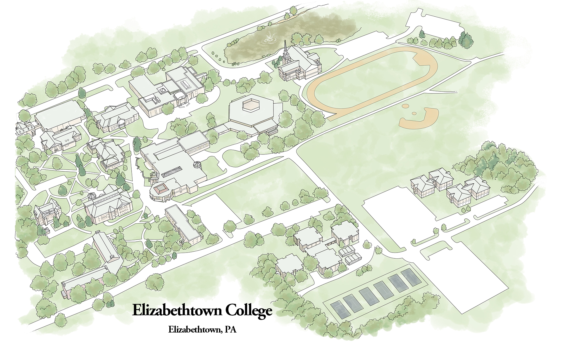
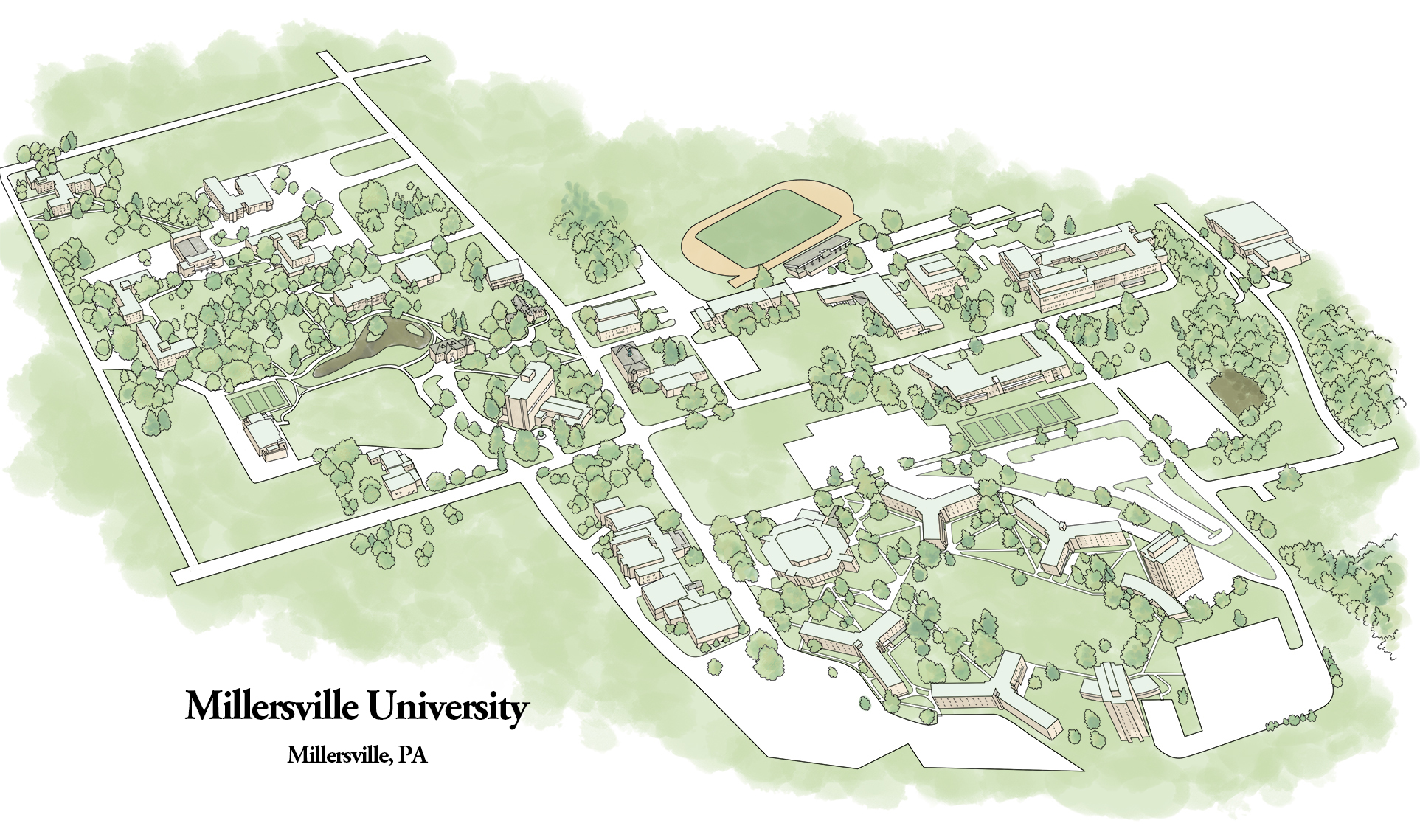
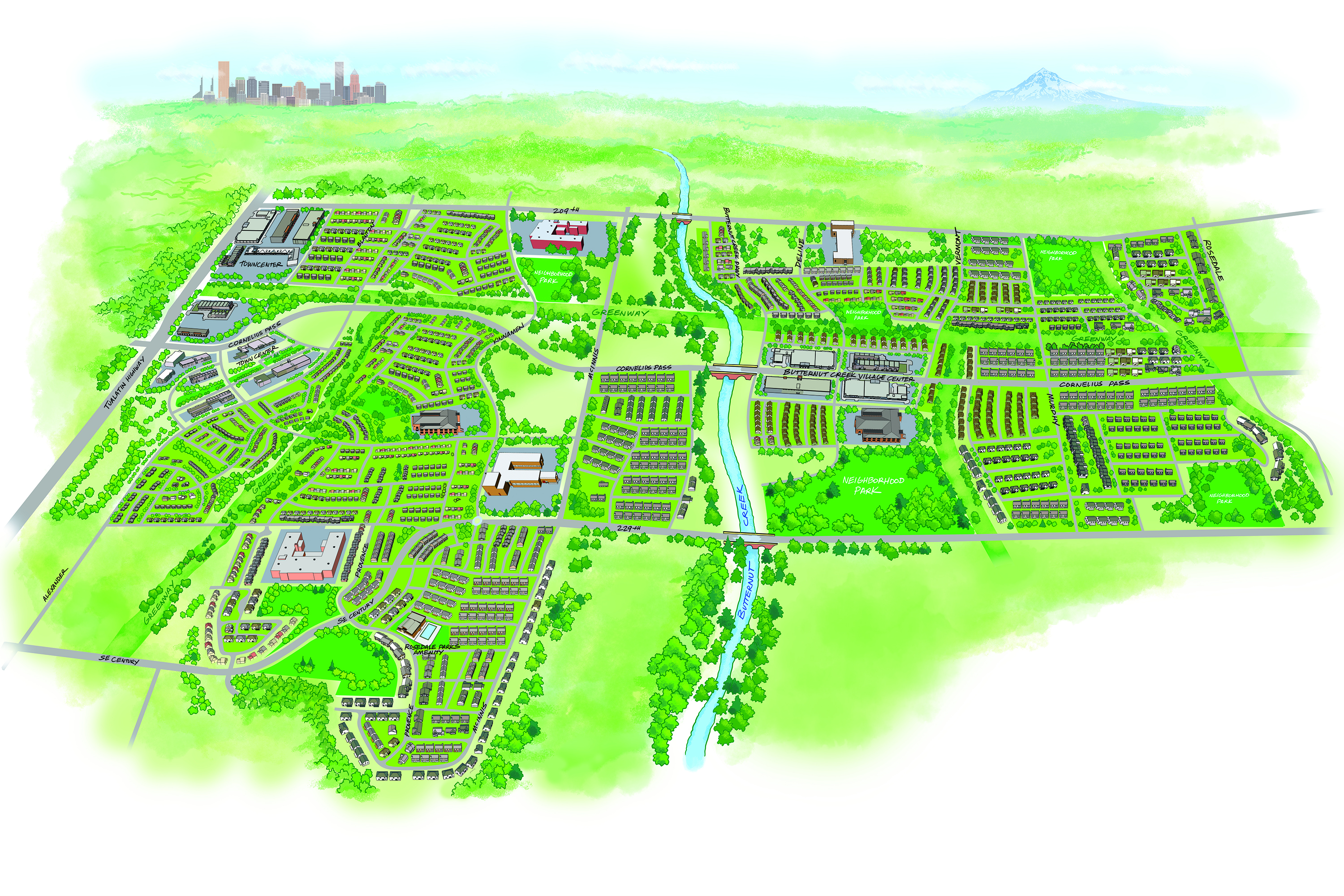
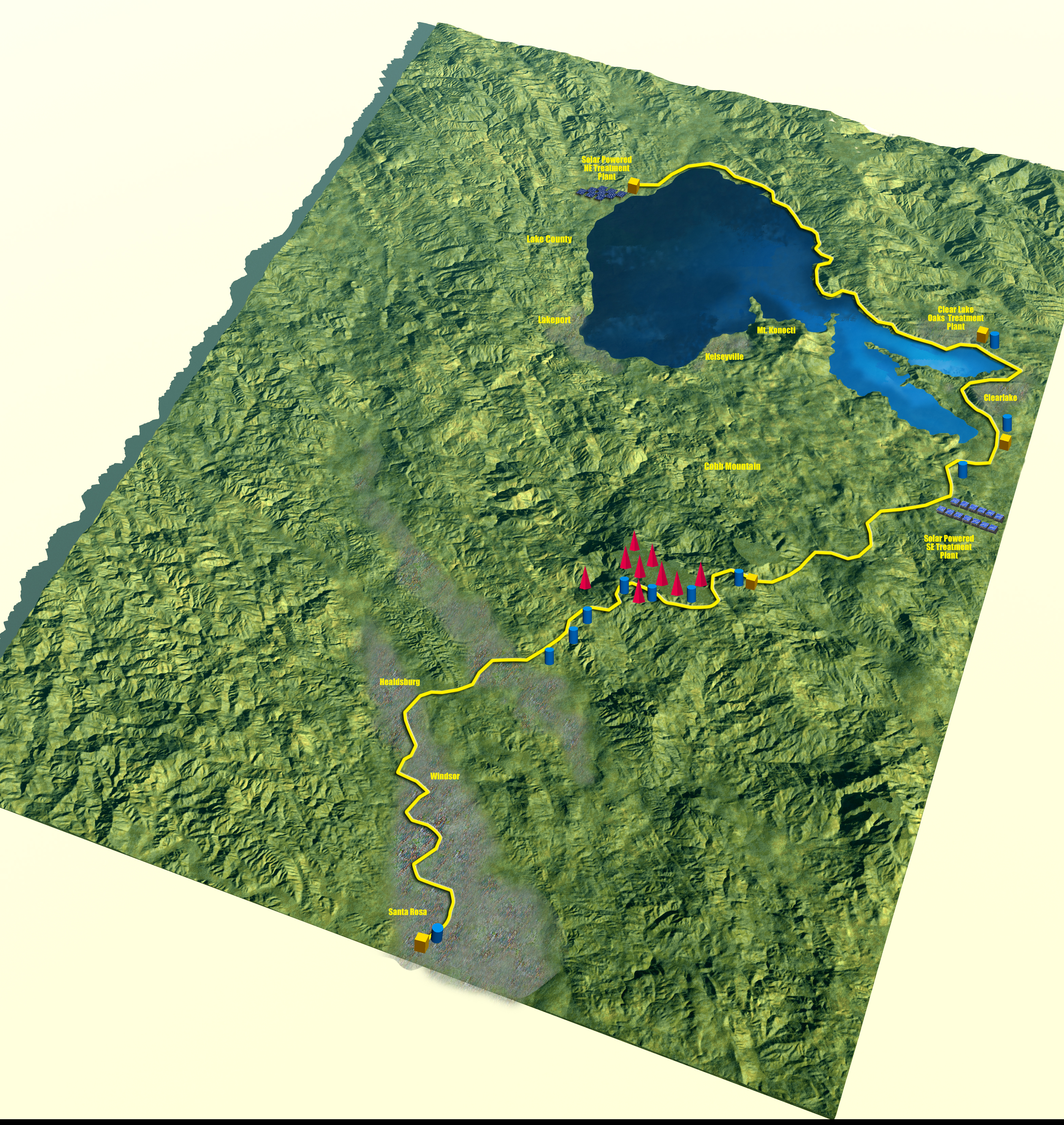
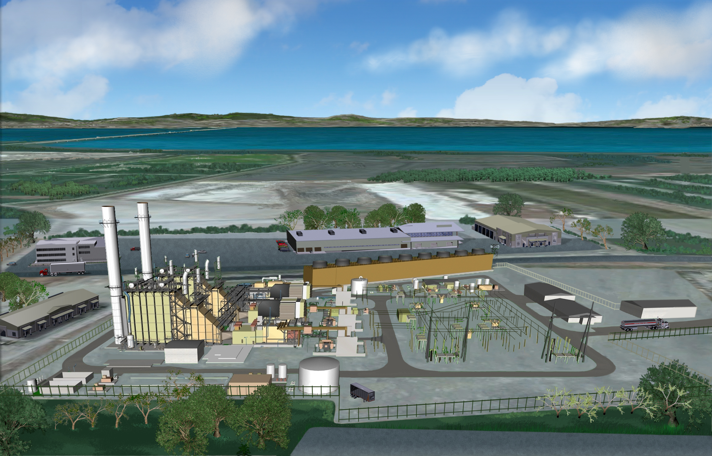
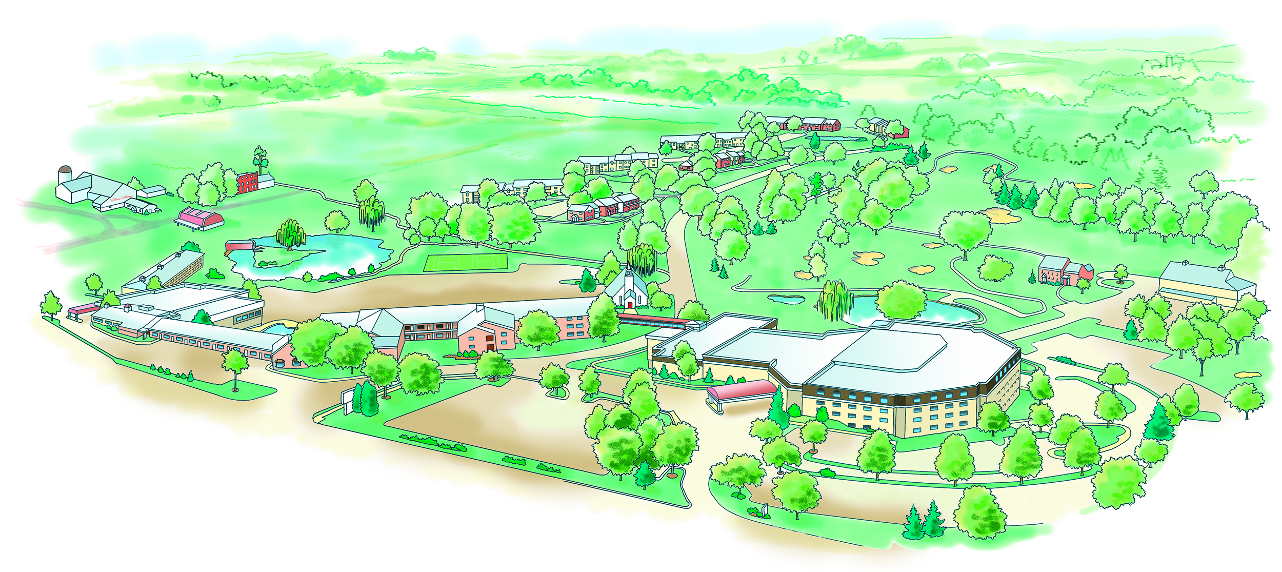
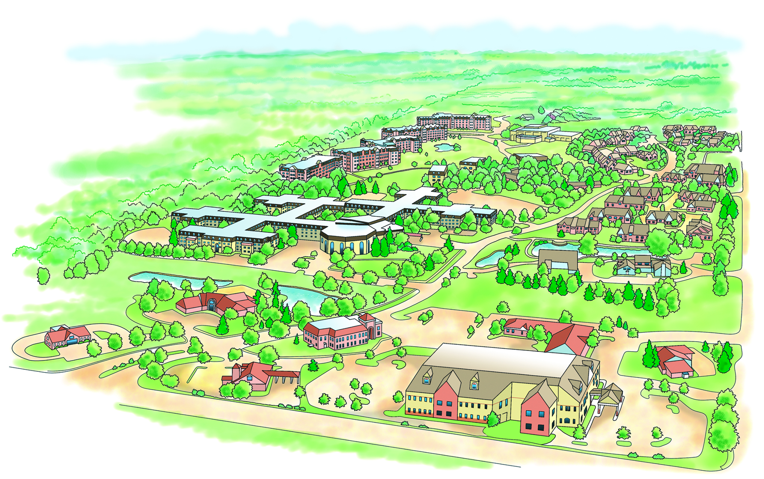
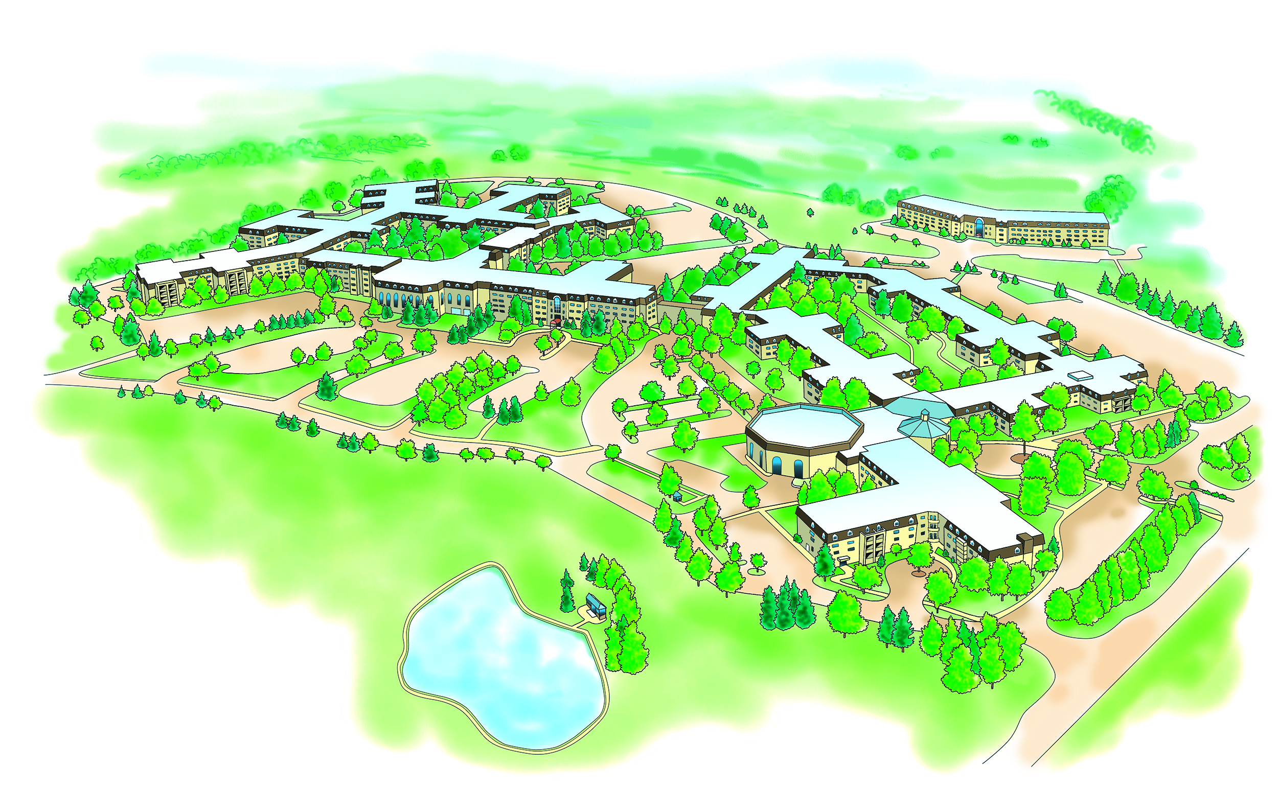
Experience a new way to see the world with Bot Roda's custom realistic aerial 3D maps. These visually rich, hand-illustrated maps offer a stunning bird's-eye view of cities, landscapes, campuses, resorts, and more—combining artistic detail with geographic accuracy. Each piece transforms traditional mapping into a three-dimensional work of art.
Bot Roda specializes in creating aerial map illustrations that highlight architectural structures, terrain textures, and landmark features. Whether you need a realistic 3D cityscape, a scenic top-down resort view, or a comprehensive campus layout, these custom maps provide both functional insight and artistic appeal.
These maps are designed to inspire, inform, and elevate your viewer's sense of place. With vibrant colors, layered textures, and accurate dimensional rendering, Bot Roda's realistic 3D maps are perfect for presentations, signage, print collateral, and digital platforms.
Whether it's a coastal town, a mountain resort, or an urban skyline, Bot Roda captures each location from above with a creative yet realistic lens. These 3D illustrated maps aren't just guides—they're immersive experiences designed to showcase your location's full potential.
If you're ready to bring your vision to life with a one-of-a-kind realistic aerial map, contact Bot Roda today to begin your custom illustration journey.

Hover To See Detail
Hover To See Detail
Hover To See Detail
Hover To See Detail
Hover To See Detail
Hover To See Detail
Hover To See Detail
Hover To See Detail